
Highlights
- Waze excels in real-time traffic updates and dynamic rerouting for drivers.
- MapQuest offers direct booking integrations and a user-friendly interface.
- HERE WeGo supports extensive offline maps and public transit information.
- OpenStreetMap provides customizable maps and strong offline functionality.
It’s no secret that Google Maps reigns supreme as the go-to application for plotting our journeys, finding local businesses, and even taking virtual strolls down foreign streets.
However, as our digital footprint expands and privacy concerns grow, many are seeking alternatives that offer similar, if not superior, features with a different user experience.
Let’s explore some of the top contenders vying for a spot on your devices, offering fresh perspectives and functionalities that might just make them worthy rivals or complements to the omnipresent Google Maps.
Waze

Waze, now owned by Google, started as an independent app and has grown to specialize in providing real-time, user-generated traffic data and road information.
Unlike Google Maps, which offers a broad range of features including business searches and pedestrian navigation, Waze focuses purely on the driving experience.
It excels in offering real-time alerts about traffic jams, accidents, speed traps, and police presence, making it an invaluable tool for commuters looking to save time and avoid headaches.
Pros:
- Real-time traffic updates and alerts are superior thanks to user contributions.
- Offers more dynamic rerouting to save time based on current road conditions.
Cons:
- Primarily beneficial for drivers, with limited functionality for pedestrians or cyclists.
- Can be overwhelming with alerts and advertisements compared to Google Maps’ cleaner interface.
MapQuest
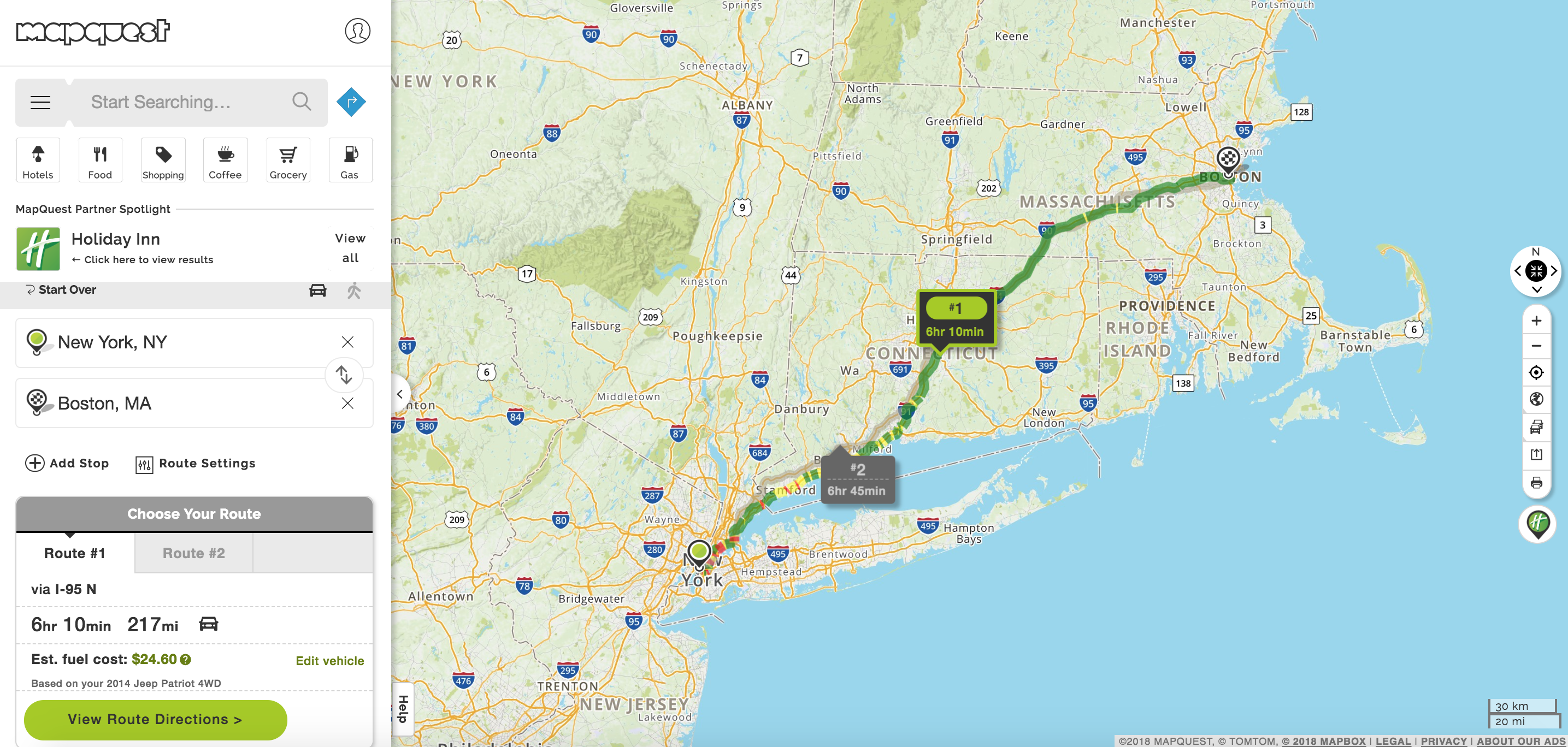
MapQuest, one of the original pioneers in online mapping services, has evolved to stay relevant in a field dominated by tech giants.
It provides directions, integrates with various services to book hotels and restaurants directly through the app, and offers live traffic updates.
While it may not boast the same level of detail or global coverage as Google Maps, MapQuest holds its own with a user-friendly interface and practical features for travelers and daily commuters alike.
Pros:
- Direct integration with booking services simplifies trip planning.
- User-friendly interface and reliable directions.
Cons:
- Less detailed and comprehensive maps compared to Google Maps.
- Some users report inaccuracies in directions and outdated information.
HERE WeGo
HERE WeGo, initially developed by Nokia, offers a robust mapping solution that caters not only to drivers but also to users of public transport, cyclists, and pedestrians.
With downloadable maps for offline use, it’s particularly useful for international travelers looking to navigate without incurring data roaming charges.
HERE WeGo provides detailed transit information, including routes, departure times, and walking directions, making it an excellent all-rounder for various types of users.
Pros:
- Offline maps reduce the need for constant internet access.
- Comprehensive public transit information supports seamless urban navigation.
Cons:
- The interface and user experience might feel less intuitive to some users compared to Google Maps.
- Coverage and detail levels may vary significantly between regions.
OpenStreetMap & Apps
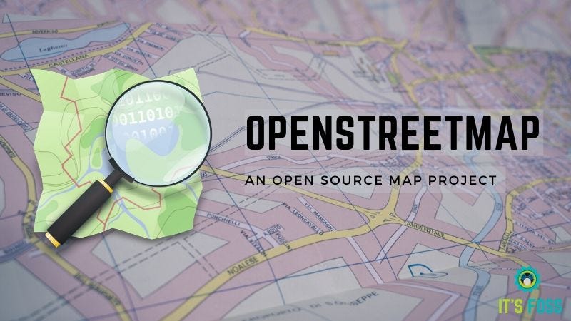
OpenStreetMap (OSM) is a collaborative project to create a free editable map of the world, making it the Wikipedia of maps.
OSM data is used by various apps like OsmAnd, which offers detailed maps for offline navigation, including driving, cycling, and walking modes.
OSM and OsmAnd are particularly popular among enthusiasts and professionals needing customizable maps and open-source data for projects and travels.
Pros:
- Highly customizable maps and open-source data appeal to tech enthusiasts and professionals.
- Strong offline functionality with detailed maps for various modes of transport.
Cons:
- The user interface and experience may be less polished and user-friendly.
- Depends heavily on community contributions, which can lead to varying levels of detail and updates.
Apple Maps
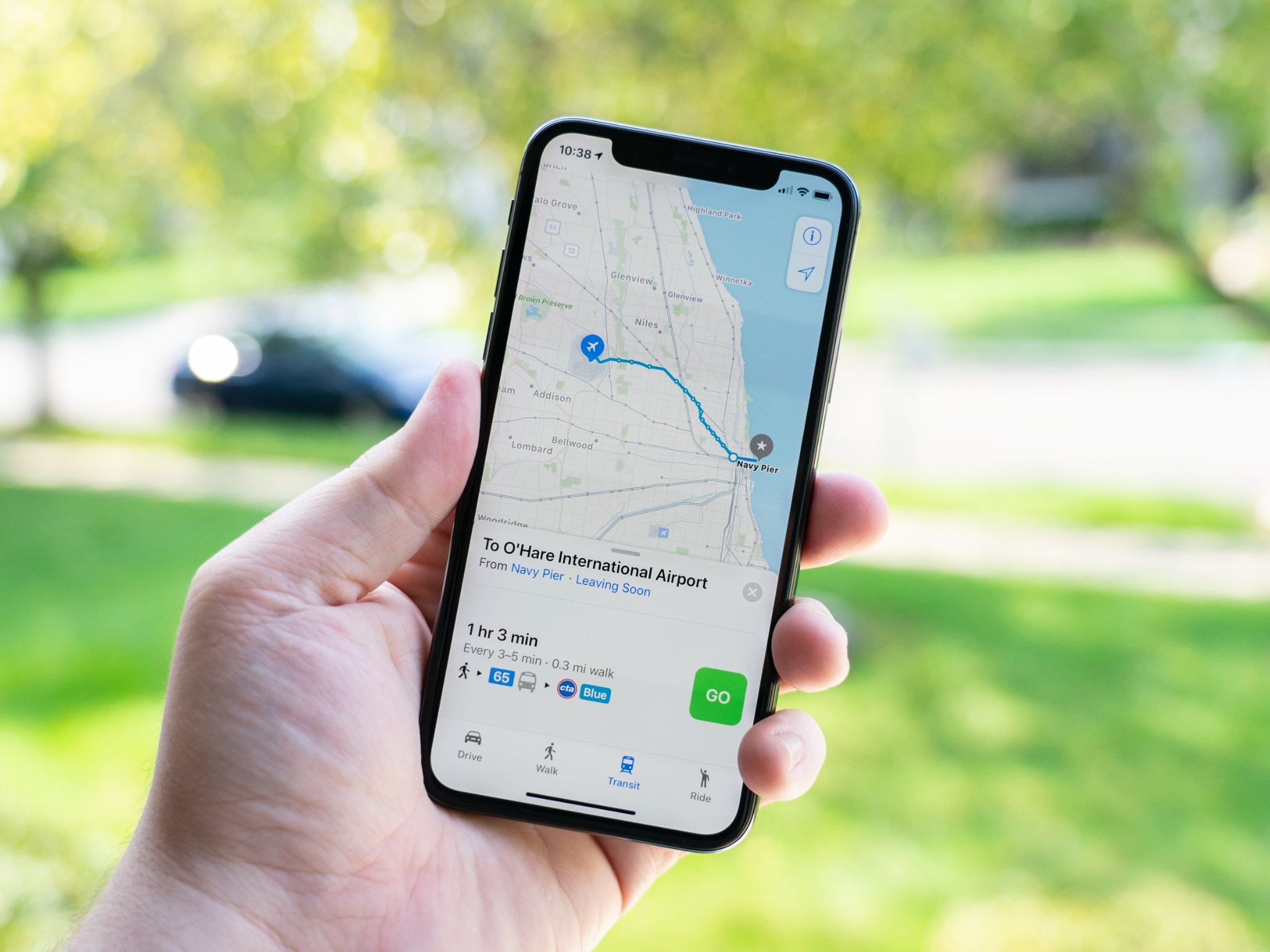
Since its rocky debut in 2012, Apple Maps has undergone significant improvements and refinements, emerging as a strong competitor to Google Maps, especially for users within the Apple ecosystem.
With an emphasis on privacy, a clean interface, and deep integration with iOS devices, Apple Maps offers a seamless navigation experience.
It includes features like turn-by-turn directions, real-time traffic information, and an innovative Flyover mode that provides 3D visual tours of major cities.
The app also benefits from continuous updates that improve accuracy and add new functionalities, such as indoor maps for airports and shopping centers.
Pros:
- Strong privacy features align with Apple’s overall focus on user data protection.
- Deep integration with iOS devices, including Siri and Apple Watch, enhances user convenience.
Cons:
- Limited availability and functionality outside of iOS, making it less accessible for users of other platforms.
- Historically faced criticism for map accuracy and coverage, although this has significantly improved over time.
Bing Maps
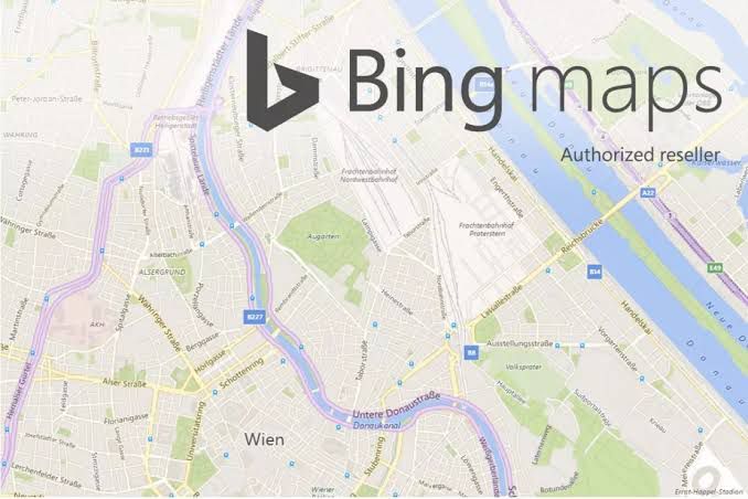
Bing Maps is probably one of Google Maps’ most direct competitors.
However, Microsoft doesn’t just try to copy the Google Maps interface to compete. Instead, you’ll find a fresh and clean user interface that’s very simple to use.
All controls for directions, traffic, sharing, and more are lined up along the top.
Bing Maps has all of the same features you’ll find in Google Maps, including road, aerial, and streetside layers, as well as transit and walking maps in addition to driving.
It’s straightforward to add destinations all along the route and then print the map to take with you on your trip.
Pros:
• Maps are extremely detailed, with multiple layers available.
• The user interface is modern and easy to use.
• Map tools and features are situated all around the edges of the map.
Cons:
• No mobile app is available.
• No trip planner tool.
• Overall fewer features and tools are available.
Rand McNally
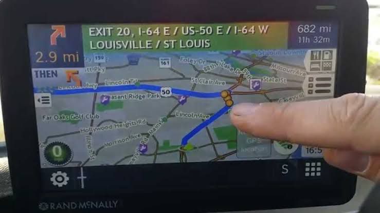
Rand McNally is another popular alternative to Google Maps.
It’s also the publisher of traditional map books.
Rand McNally is pretty easy to use.
Type your source and destination addresses and click “Get Directions” for the route.
The tool also offers detailed maps, just like its paper maps.
You can quickly identify the unclear walking trails and even the smallest bodies of water.
Both Google Maps and Rand McNally offer free online maps, but the latter has better and more precise maps, showing small bodies of water and remote walking trails.
Pros:
- Offers more detailed maps
- Fast and straightforward zoom tool
- Functional and impressive satellite view
- Save locations
Cons:
- No mobile app
- No walking and transit layers
- Fewer features
CityMapper
CityMapper is a Google Maps alternative that focuses on providing users with public transportation data.
It offers varying modes of transportation through subway, tram, bus, and other public transit available in supported cities.
However, it shares users’ data to search services, like the Google app.
Pros:
- Display public transportation data
- Updated information from the government
- Third-party transportation services integration
Cons:
- Does not respect data privacy
- Limited cities are supported
- Restricted features in other cities
BackCountry Navigator
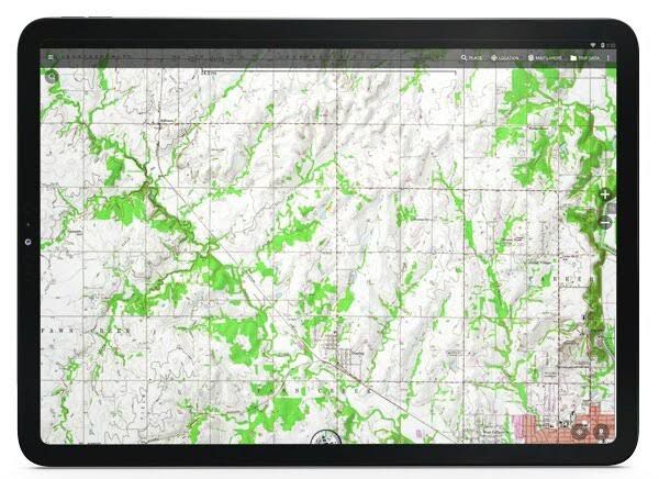
The ideal GPS navigation app for outdoor adventures, BackCountry Navigator, will come in handy if you’re out in the wilderness.
It provides detailed land topography that you can download for offline usage, utilizes GPS waypoints, and allows you to manually enter location coordinates.
Aside from that, it offers detailed topography maps from USTopo and nautical maps from NOAA RNC.
Pros:
- Enter manual location coordinates
- Offers detailed land topography maps
- Includes nautical maps
Cons:
- Not very intuitive
- Maps are not updated
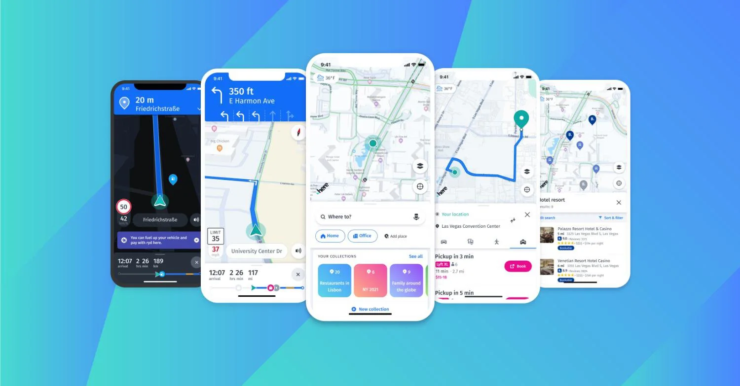
TomTom
TomTom Maps is the company’s flagship mapping appand is one of the best alternatives to Google Maps.
It offers turn-by-turn navigation and is one of the most comprehensive mapping apps available.
TomTom gives users accurate traffic information, so they can plan their routes.
The software has many helpful features like speed alerts, road closures, and route planning.
All of these features can help keep users safe on the roads.
It features a street view and satellite view, as well as indoor mapping for airports and malls.
It’s a great app for those who want an easy-to-use mapping application.
TomTom GO Navigation is available on Android, iOS, and other platforms.
Pros
• easy-to-use mapping
• is available on Android, iOS, and other platforms
• features a street view and satellite view
Cons
- Requires smartphone connection for Live Updates
- Can be difficult to pair devices via Bluetooth
- Journey bar rotates information
FAQs
What are some alternatives to Google Maps for navigation?
Alternatives to Google Maps include Waze for real-time traffic updates, MapQuest for direct booking features, HERE WeGo for comprehensive public transit info, OpenStreetMap for customizable maps, and Apple Maps for users in the Apple ecosystem.
How do Google Maps alternatives compare in terms of privacy?
Many Google Maps alternatives, such as Apple Maps, focus strongly on user privacy, offering features and policies designed to protect user data. Others, like OpenStreetMap, prioritize open-source data and customizable features for tech enthusiasts and professionals.
Can I use these alternatives offline?
HERE WeGo and OpenStreetMap-based apps like OsmAnd offer extensive offline map functionalities, allowing users to navigate without an internet connection, making them ideal for international travelers or areas with poor connectivity.
Are there navigation apps specifically designed for drivers?
Waze is specifically designed for drivers, providing real-time alerts on traffic jams, accidents, speed traps, and police presence, along with dynamic rerouting to save time.
Which Google Maps alternative is best for iOS users?
Apple Maps is the best alternative for iOS users, offering deep integration with iOS devices, privacy-focused features, and a clean interface, along with continuous improvements in map accuracy and functionality.
What are geographic information systems?
Geographic Information Systems (GIS) are designed to work with data located in space referenced to the Earth.
The data describe objects or phenomena occurring on the Earth’s surface, beneath its surface, or in its atmosphere. These data can be assigned coordinates defined in a reference system associated with the Earth’s solid.
As a result, Geographic Information Systems enable the collection, storage, sharing, processing, analysis, and visualization of spatial data.
Geographic Information Systems use advanced technologies to integrate information about places, objects, phenomena, and events related to geographic space.
With GIS, it is possible to mine location data to explore spatial relationships and detect patterns, enabling informed decision-making based on the analysis of geographic data.
Is it worth using alternative maps – other than Google Maps?
It is worth using alternative maps, different from Google Maps.
•Data privacy
•Offline access
•Specialized maps
•Customizability and additional features
•Competitive information about places
Also Read: How to Track Friends Live Location through Google Maps?
Also Read: Google Maps Enhances User Privacy with New Update Including Removal of All Location Tracking Data
Also Read: Google Maps to Reportedly End Driving Mode Feature in 2024 Update
Also Read: Google Maps Introduces Live Location Sharing Feature: How To Enable it on iOS and Android
Also Read: Google Maps Update Introduces Bluetooth Beacon Support for Enhanced Tunnel Navigation
Also Read: Google Maps Now Offers Detailed Restaurant Reviews and Dish Information
Also Read: Google Maps for Android Now Features Real-Time Weather and AQI Updates
Also Read: Google Maps Rolls Out Glanceable Directions for Easier Navigation


